A snow squall usually affects one location for a relatively short period, often around 30 to 60 minutes, although some pass more quickly or persist longer. Duration alone, however, gives an incomplete picture. A narrow band can cross one neighborhood rapidly while continuing across a much larger region. Heavy snow may end first, visibility may improve next, and roads or local services may take longer to return to normal. Understanding these different clocks explains why a brief weather event can shape plans for several hours afterward.
Measure a Snow Squall With More Than One Clock
Local Duration Depends on the Width and Speed of the Band
Imagine a moving strip of intense snow crossing a town. How long one address stays beneath it depends largely on how wide the active band is and how quickly it travels. A narrow, fast-moving band produces a shorter encounter, while a broader or slower-moving one can keep intense conditions over the same location longer. This is why the start and end times reported by people several miles apart may differ. The snow squall itself is moving through space, so its regional lifespan and its duration at a single home are not the same measurement. For practical planning, the more useful question is how long the most intense part is likely to remain over your immediate area.
Intensity Can Peak in the Middle of a Short Event
The entire squall does not necessarily maintain the same intensity from beginning to end. Conditions may change rapidly as the leading edge arrives, reach their strongest phase for part of the event, and then improve as the band moves away. This creates a useful distinction between total duration and peak duration. If a squall affects an area for 40 minutes, for example, the heaviest snowfall and lowest visibility may occupy only part of that window. That concentrated period explains why a short event still deserves careful timing. Travel decisions should not be based simply on the total number of minutes. The position and intensity of the band during those minutes matter just as much.
Several Squalls Can Create Separate Bursts of Winter Weather
One intense burst does not always mean the day’s winter weather has finished. Atmospheric conditions can sometimes support multiple snow bands, creating periods of improvement between separate bursts. From the ground, that can feel like one long event even though conditions actually arrive in distinct episodes. This distinction matters when planning travel or outdoor work. A brighter interval does not automatically describe what may happen later in the day. Look at the broader weather timeline rather than using the end of one burst as the only reference point. Thinking in separate weather windows also makes preparation more precise: each period can have its own arrival time, intensity, and local duration instead of being treated as a continuous snowstorm.
Separate Weather Duration From Recovery Time
Roads Keep a Record After the Snow Stops
The atmosphere can clear faster than the ground changes. Fresh accumulation may remain on roads after snowfall ends, while traffic patterns and surface conditions continue adjusting. This creates a second clock: recovery time. A driver who sees improved visibility from a window may therefore encounter road conditions shaped by the preceding burst. The same principle applies to driveways, sidewalks, parking areas, and building entrances. Rather than asking only when the snowfall will stop, consider when the places you need to use will be ready for normal activity. That distinction makes the short duration of a squall easier to understand. Weather describes what is currently falling from the sky; recovery describes what the event leaves behind.
A Power Interruption Can Follow Its Own Schedule
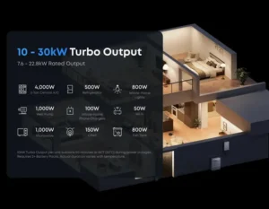
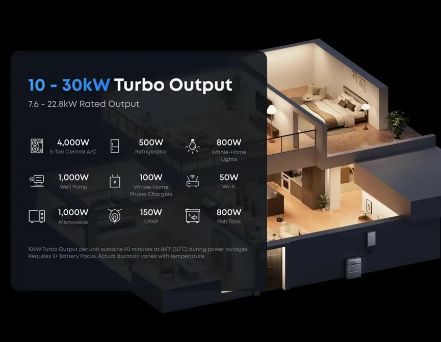
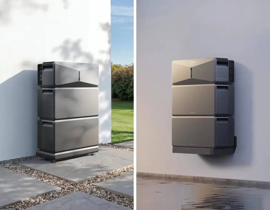
Electricity adds another independent timeline. If winter conditions affect the local power network, the outage does not have to end when snowfall moves away. Households with backup storage can plan around that difference. The Anker SOLIX E10 Whole-Home Backup offers 6 to 30 kWh of battery capacity per unit, expandable to 90 kWh across three units with Power Dock. One E10 provides 7.6 kW continuous output and 10 kW turbo output for up to 90 minutes. Automatic backup activates in 20 milliseconds or less. These figures serve a different purpose from a weather forecast: the forecast describes the squall, while battery capacity and output describe how the home can operate if an electrical interruption continues afterward.
Replenishment Extends the Timeline Beyond Stored Energy
Once weather duration and outage duration are separated, backup planning can include a third clock: energy replenishment. Stored battery energy provides an initial reserve, while other available sources can contribute later. Each E10 accepts up to 9 kW of solar input through dual 30V–450V MPPTs, reaching 27 kW across three units with Power Dock. With CT, the system can also work with an existing solar setup. Smart Generator charging adds another source for extended backup planning. This makes a useful contrast with the weather event itself. A squall is typically measured in minutes, but household continuity may need to cover hours or longer, so the energy plan should follow the duration of the interruption rather than the snowfall.
Conclusion
A snow squall often lasts around 30 to 60 minutes at one location, but there is no single clock that describes the entire experience. The active band has one duration, its most intense phase may be shorter, and separate bursts can occur at different times. Roads and electricity can then follow their own recovery schedules after the sky clears. Treating weather, ground conditions, and household power as separate timelines provides a clearer way to plan when a fast-moving winter event passes through.
Also Read
- /understanding-crypto-brokers-key-roles-and-revenue-models/
- /latest-trends-in-cosmetic-dentistry-what-you-need-to-know/
- /choosing-the-right-iron-boundary-design-for-your-home/